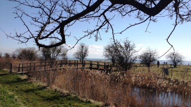
Sydstranden – The South Beach
The South Beach, a protected area beginning just south of Dragør Harbor, covers 5 km of lakes, wetlands, meadows, fields, and many paths for walkers and bikers.
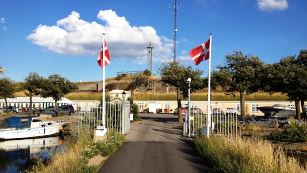
Dragør Fort
Dragør Fort was built 1910-1915 on an artificial island south of Dragør as part of the Copenhagen Sea Fortress. The fort is approx. 32,000 square feet, of which about 2,500 are built, partially cased....
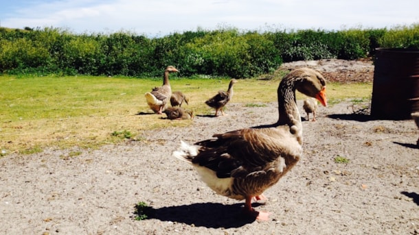
Goose Republic
For centuries, people in Dragør have kept geese. Originally, they had them in their home, where they would live for example under a bench in the living room.
Then they were let out in the morning - i...
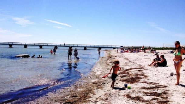
Grandma' Beach
When the summer weather turns out at its best and a beach trip calls, Dragør Søbad and The Grandmother's Beach provide great bathing conditions for young and old alike.
The Grandmother Beach is a ver...
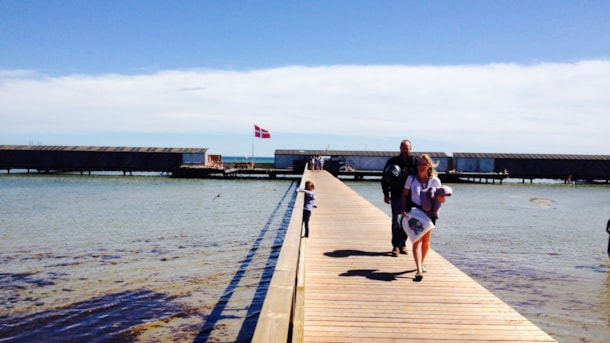
Dragør Sea Bath
Just south of Dragør Harbor you will find The Grandmother Beach and Dragør Sea Swim "Dragør Søbad".
Dragør Sea Swim has an entrance from the southern end of the beach. The Sea Swim, which is divided ...
Beach Meadows
The meadows south of Dragør, which overlooks the Øresund Bridge and one of the busiest sailing routes in the world, are protected. Here is a rich bird life: fishing heron, gray geese, vibe, lead hens ...

